Real-time drone weather, airspace, and flying conditions. Built for Part 107 pilots.
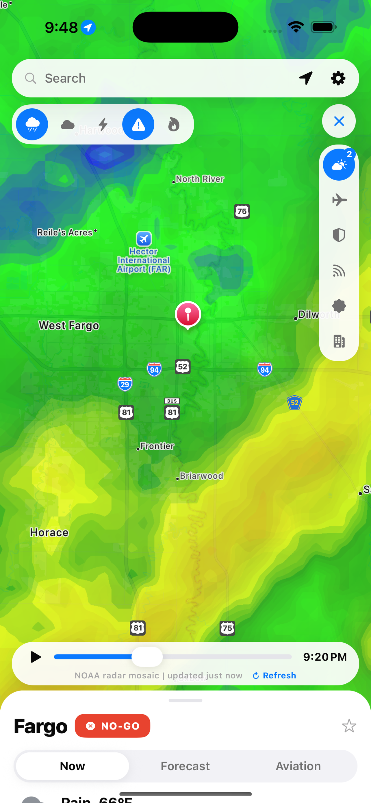
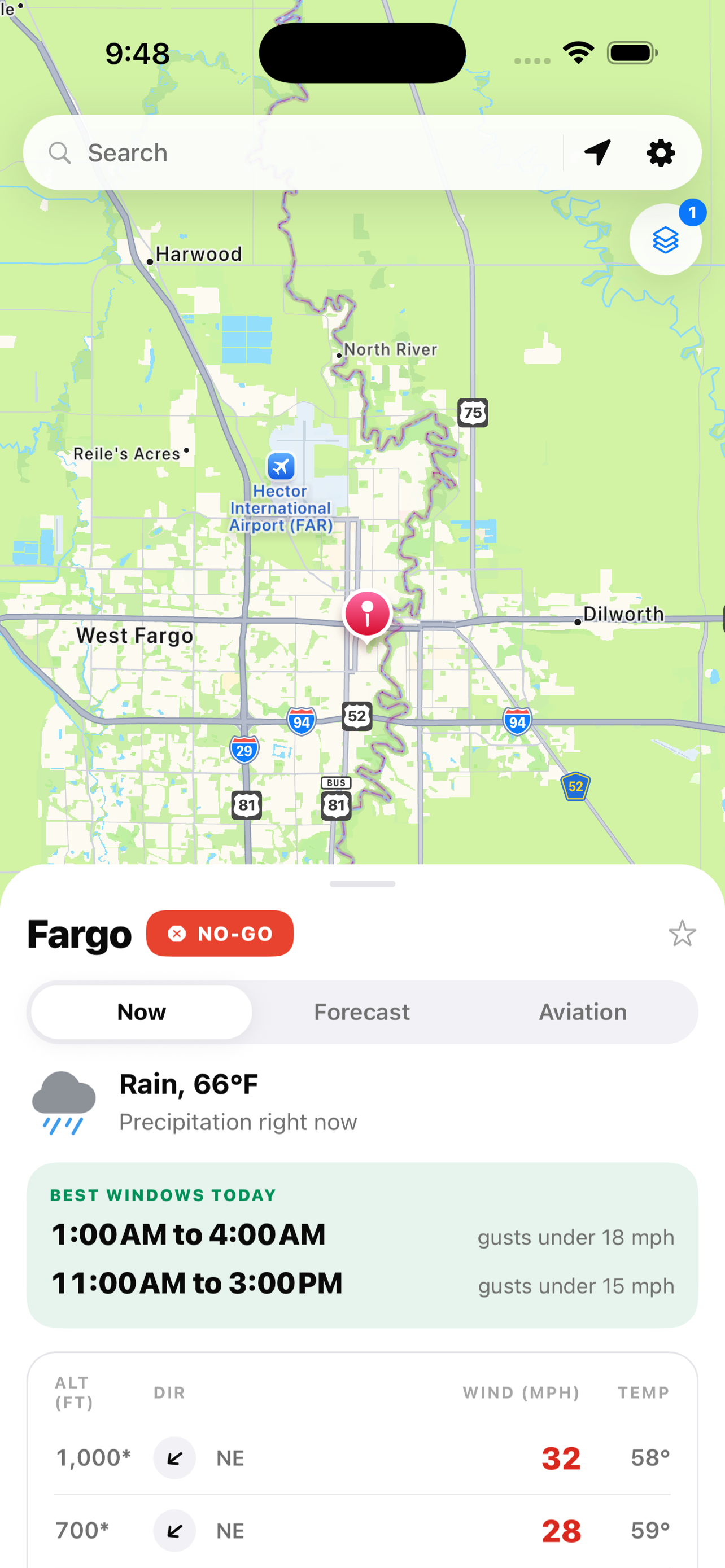
Download for iOSWeather, airspace, and situational awareness in a single view.
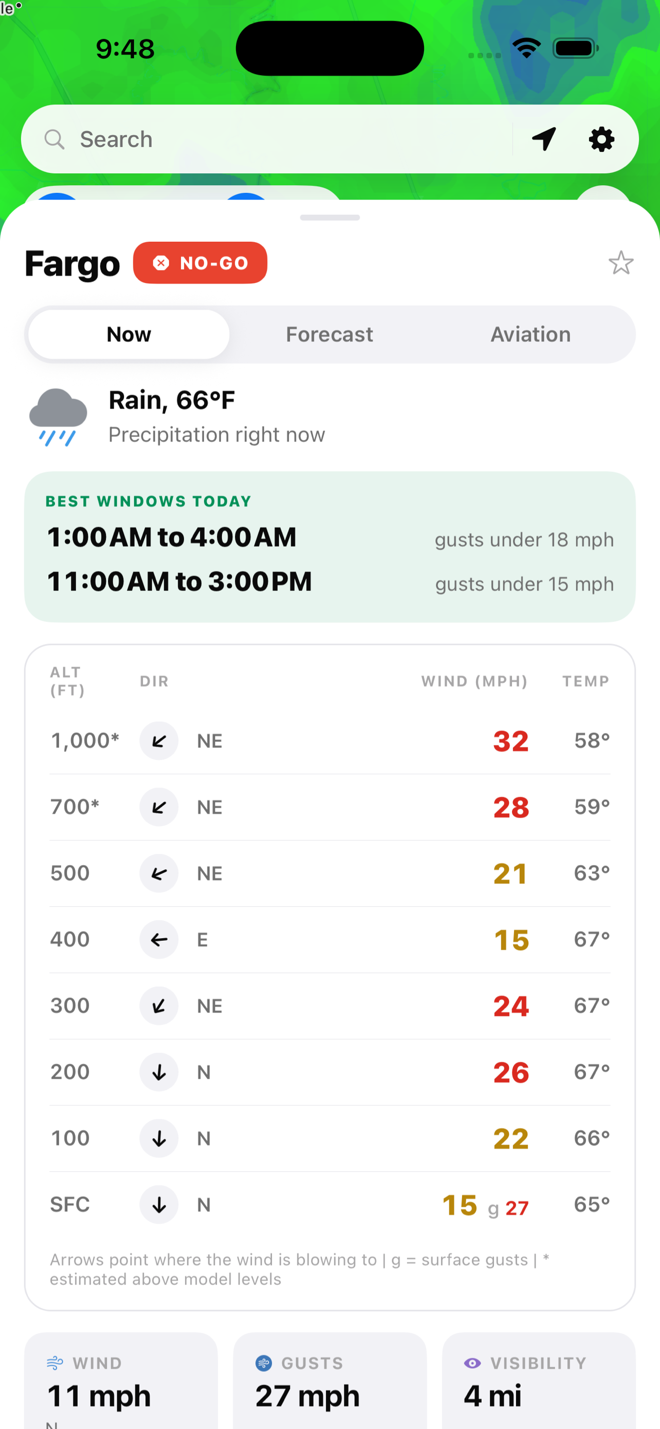
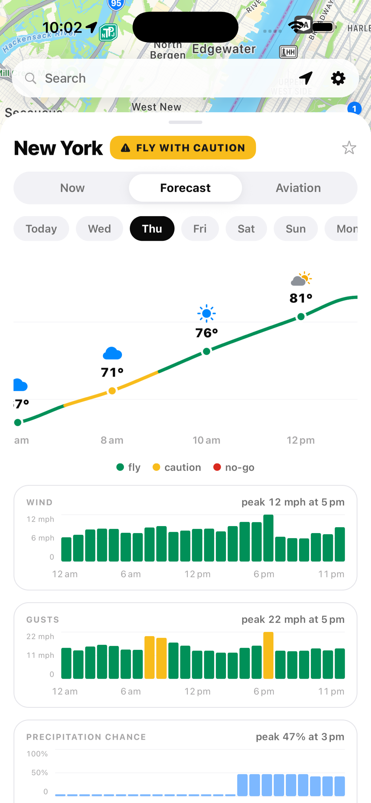
Instant flyability verdict. Wind, visibility, precipitation, and airspace restrictions combined into one clear answer.
Speed and direction from the surface to 1,000 ft, with your aircraft ceiling highlighted.
The calmest daylight windows found automatically so you can skip the hourly scan.
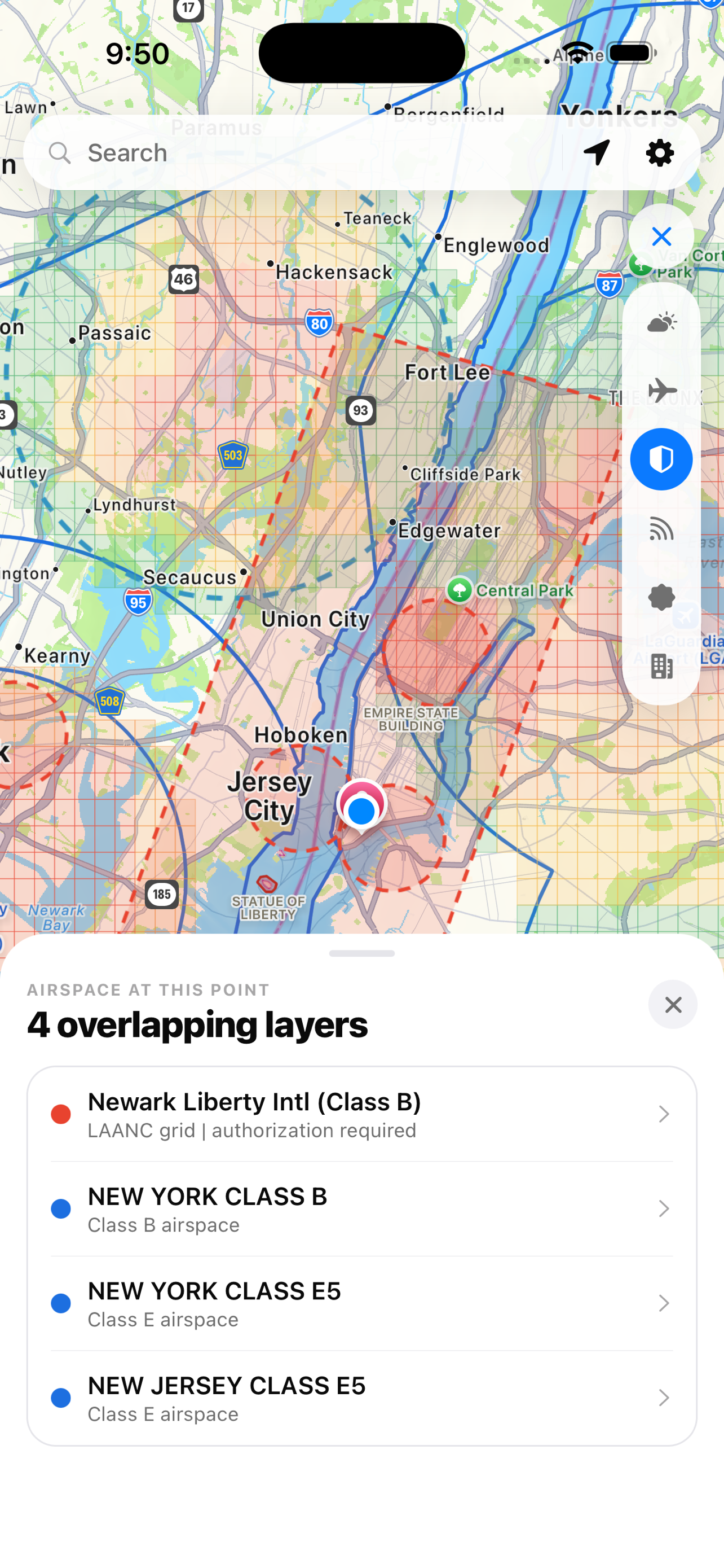
FAA airspace ceilings, class boundaries, no-fly zones, and active TFRs on tap.
Real-time ADS-B positions updated every 12 seconds near your launch spot.
Severe weather warnings, wildfires, and lightning strikes. All on the map, all live, all before you launch.
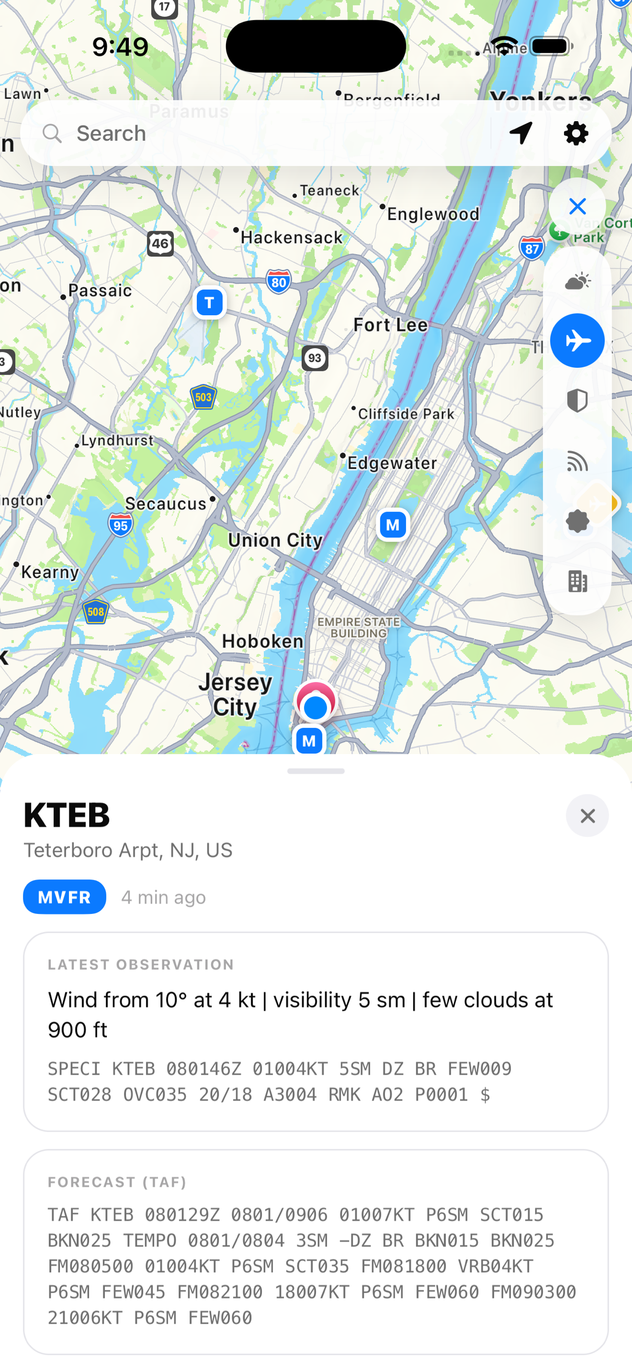
Radar, satellite, airspace, traffic, obstacles, public lands, warnings, wildfires, lightning, and aviation weather.
FAA UAS facility maps with LAANC grid ceilings, controlled airspace class boundaries, no-fly zones, and active TFRs. Overlapping layers stack and expand on tap.
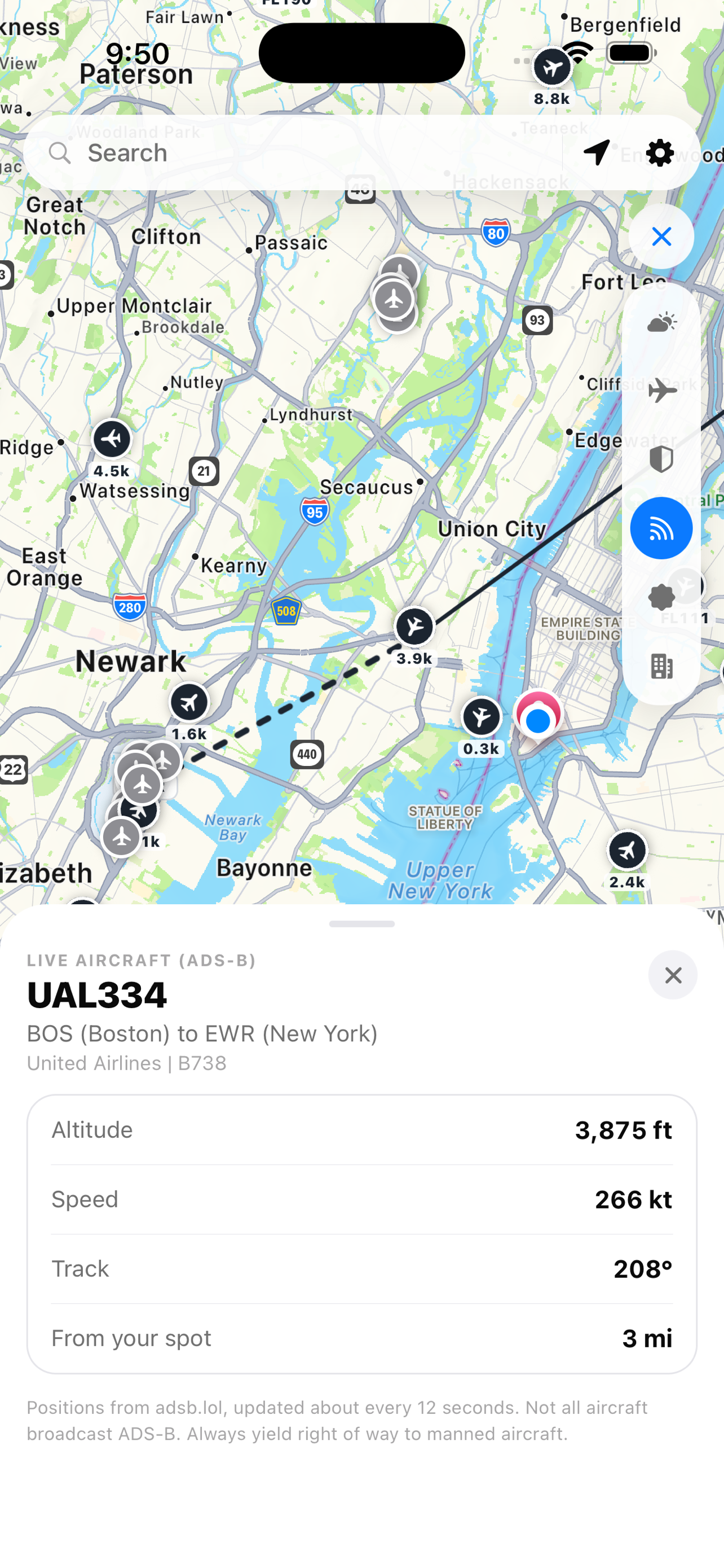
Real-time ADS-B positions with callsign, altitude, speed, route, and distance from your spot. Updated every 12 seconds from the adsb.lol community network.
Tap anywhere on the map. Winds aloft at every drone altitude, temperature curve, precipitation, cloud cover, visibility, and a 7-day outlook with peak gust warnings.
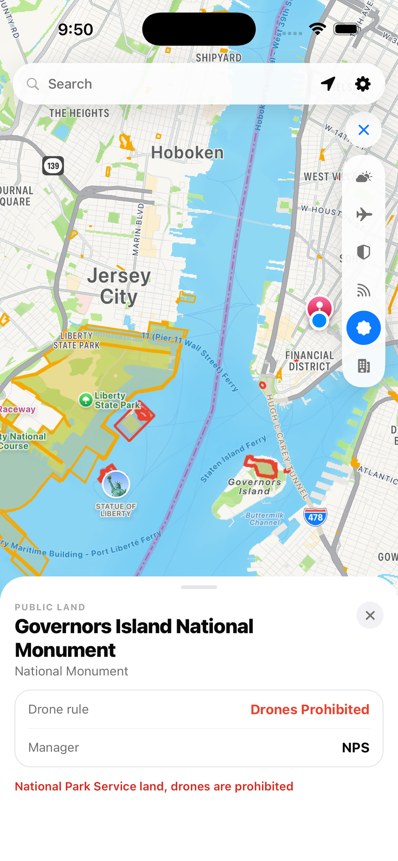
Public-land rules and FAA obstacles filtered against your aircraft profile's flight ceiling.
Free public, government, and community sources. No subscriptions, accounts, advertising, or analytics.
Free. Private. No account required.
Download for iOS